Updated: July 27, 2023
| Project Name | Staff Gauges |
| Short Project Description | Fabrication and installation of staff gauges to show actual water depth at identified locations inside and outside LID 19’s levee and corresponding (i) Mean Sea Level Elevation and (ii) water levels for the Brazos River gauge at Richmond (staff gauges located outside the levee only) |
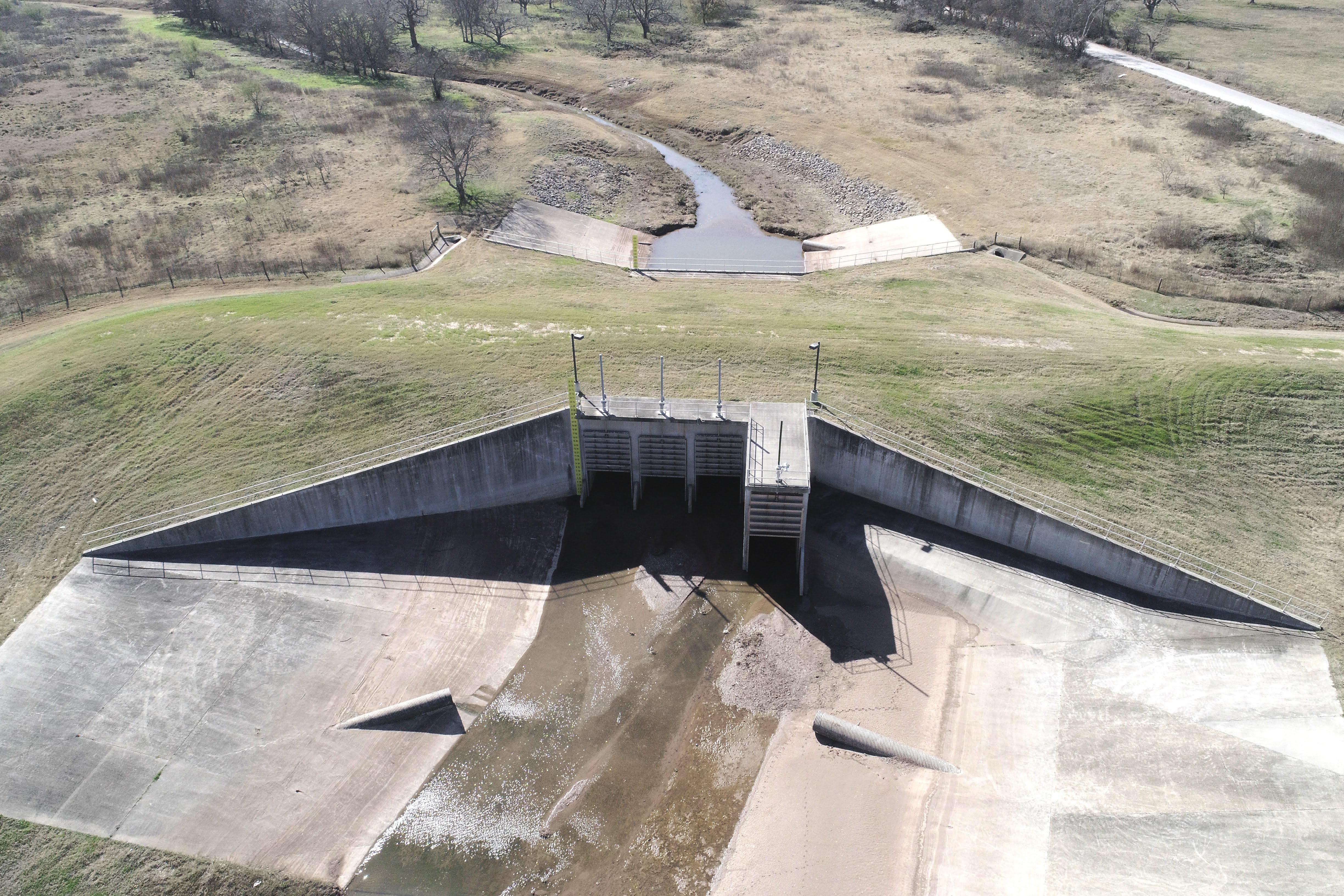
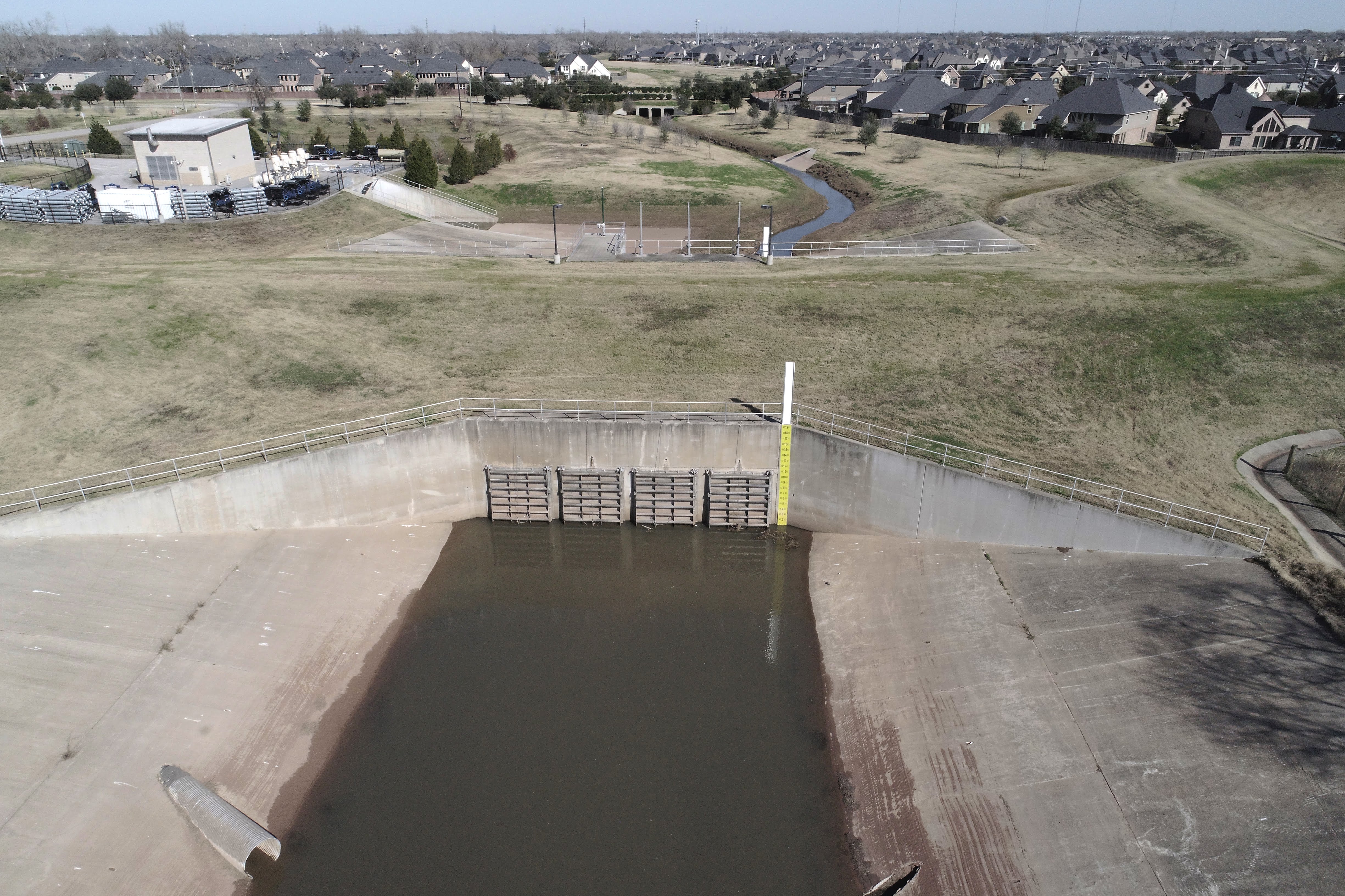
| Additional Technical Information | Many residents expressed confusion during Hurricane Harvey when information related to projected water levels of the Brazos River was communicated. Residents requested clarification with respect to structural flooding risk from and their own finish floor (slab) elevation.
The National Weather Service (NWS) maintains and monitors Brazos River levels through a series of gauges along the river. The closest river gauge to LID 19 is located at the NWS’s river gauge at Richmond. However, because the gauge at Richmond is further upstream from LID 19, the mean sea level elevation at the gauge location is different from the mean sea level elevation at LID 19. Therefore, water surface elevation readings at the Richmond gauge are not equivalent to elevations in LID 19. Calsage 4D Drone Services – SBC-Brazos Levee Gates See LID 19 Operator’s visual explanation here: https://www.fblid19.com/wp-content/uploads/2018/06/fblid19_lms_presentation_20170609.pdf
|
| Estimated Total Project Cost (including engineering and contingency) | Under $25,000 |
| Estimated Schedule | Complete |
| Financing Source | Project was funded from LID 19’s current cash on hand (general operating fund). |