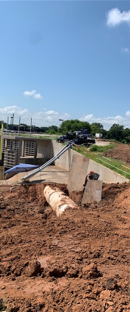
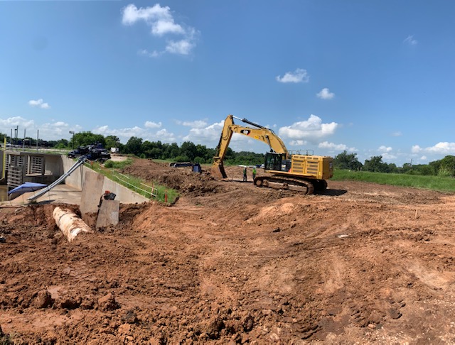
LID 19 Weather Update

The Brazos river is rising due to water flow from upstream and continued rainfall over the Brazos river catchment area. The current river level projections indicate that LID 19 may partially or fully lose gravity flow of rain water to the Brazos in the coming days.

If this condition occurs, we are fully prepared to start our pumps to remove the rain water out of LID 19. Under the current projected scenario, we are fully equipped to avoid any structural flooding across LID 19. It is possible that some street flooding may occur, depending on rainfall intensity over LID 19 while the gravity flow is restricted. If circumstances change, we will keep you apprised of the same.

Please pay attention and be safe when driving and never drive over flooded streets. If possible, please park your cars off the road at a higher level to avoid any potential damage from street flooding.

Brazos River Update – Tuesday, May 18, 2021

LID 19 is monitoring Brazos River projections due to recent and anticipated rain in the watershed this week. Currently, the Brazos River is projected to reach 42 feet at the Richmond gauge this weekend.

At this projected river elevation, water will not reach the toe of the levee, but gravity flow may be restricted. LID 19’s operating crew has been checking all pump station facilities, drainage facilities and levees. At this time, all systems are functional and ready to pump and drain stormwater.

As a reminder, during periods of intense rainfall, street ponding may occur. We encourage residents to monitor rainfall forecasts and to keep parked cars off the street.

Risk Rating 2.0

Risk Rating 2.0 is the name for the program revising national flood insurance rates by the National Flood Insurance Program (NFIP). Initially, the plan was to see the Federal Emergency Management Agency (FEMA), which oversees the NFIP, deliver rates for single-family homes by October 1, 2020.

NFIP decided last year to delay the release of the rates to October 1, 2021. This year’s October date will be for all new policy rates.

Why is this Important?

The current methodology for determining a property’s flood risk and insurance pricing was developed in the seventies. In the forty-plus years since development, climate and other factors have fundamentally changed the environment to analyze. Risk Rating 2.0 plans to use current modeling to evolve FEMA’s ability to forecast risk.

This progression of the technology used to forecast creates a view of the home as a unique property and not a group of comparable homes. Modernizing the process means they will use current actuarial practices to set rates. Finally, the new program is supposed to be more straightforward in explaining the process to assist agents and policyholders.

The lack of transparency in the process has created concerns for areas along the US coastline and, importantly, here in Fort Bend. Our area homes are protected by levees that are built and maintained to an extremely high technical standard.

What are the concerns?

Risk Rating 2.0 will be the most notable change in over four decades, and the guidance from FEMA has been slow. Many of the answers given have raised additional questions. One of the consequences of this could be a significant rise in flood insurance premiums, even for property protected by well-maintained, high-quality levee systems. At this point, we are not sure of the outcome of this new process for our property owners.

What is LID 19 doing for Risk Rating 2.0?

In March, FEMA provided an update which unfortunately did little to clarify the potential October impact to Fort Bend. With the deadline just six months away, your LID 19 board and their consultants have been in touch with regional politicians and the congressional representation in the area for guidance.

You reach out to your area congressional representation so they can hear your questions and understand your concern regarding this change.

Link for Congressman Troy Nehls
https://nehls.house.gov/contact